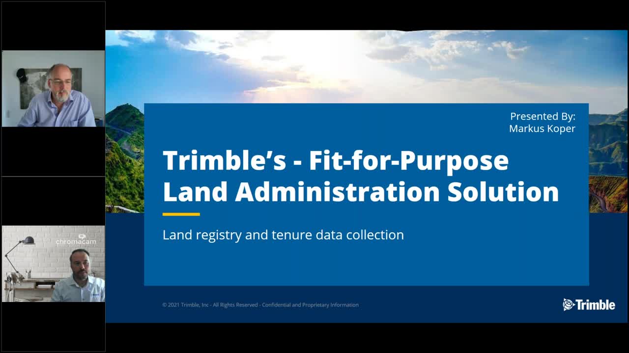
Introduction to the Trimble Fit-for-Purpose Land Administration Data Collection Solution

Join us for an introduction to the Trimble® Fit-for-Purpose Land Administration data collection solution, which combines the Trimble Penmap Android application and the revolutionary Trimble Catalyst™ GNSS concept. This solution offers more professional data collection for tenure, land rights, and land registry. It is an easy-to-use, flexible, attainable, and affordable solution that offers high-quality and reliable data collection for everyone worldwide.