Find Your Mark With the Latest Updates to Trimble TerraFlex
The latest release of Trimble® TerraFlex® software version 5.9.0 is now available, with new features and enhancements that enable you to expand your field workflows and enrich the data you capture. You can download the latest version from the Google Play Store and the Apple App Store.
Navigate to Form
This release introduces a new stakeout routine alongside a refresh of the existing navigation options in TerraFlex, making it easier to locate buried assets or points of interest in the field.
TerraFlex enables users to select a feature on the map, or to enter coordinates, to set the navigation target. With this update, TerraFlex will now automatically switch into High-Accuracy Navigation mode when you get within 5 meters of the navigation target, providing a bubble-like interface to guide you directly to the target. Also, now in High-Accuracy Navigation mode, TerraFlex will automatically configure your GNSS receiver to increase its output positioning rate, for a smoother and more responsive navigation experience as you locate your target.
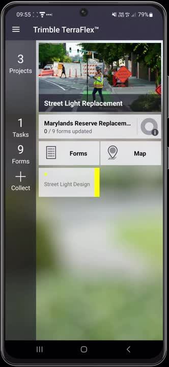
This video demonstrates the new navigate to form workflow
This release also introduces a set of enhancements to enrich the data you capture in the field with TerraFlex.
Coded Choice Fields
Coded Choice fields are a new type of field you can add to your form templates. Coded Choice fields enable you to set a coded value that will be stored to the form, with a user-friendly description for that coded value that the user can select when capturing the form.
Custom Logging Rates
Also new in this update is the option for configuring the GNSS logging rate for form templates. For point form templates, users can now set the number of GNSS positions that are averaged to increase position accuracy, especially when using the Trimble Offline GNSS Corrections™ service. For line and area form templates, users can now set whether distance-based or time-based logging is used.
Image Watermarks
A new option has been added to automatically add location and bearing, or timestamp watermarks, to images captured in TerraFlex. These watermarks add an additional level of information to the image to prove when and where the image was taken.
Image captured in TerraFlex showing the image location and timestamp watermark.
Trimble RTX
This update to TerraFlex also includes further improvements to the time-dependent transformations used with Trimble RTX® corrections. TerraFlex will now use local displacement models alongside tectonic plate models to provide the best possible RTX-corrected GNSS position.
Webinar
View the on-demand webinar where the TerraFlex product team runs through the new features and enhancements released in TerraFlex v5.9.0. Watch now.
Learn more about Trimble TerraFlex here.